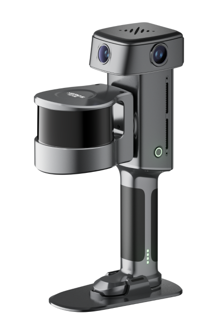
Verified 5 mm relative accuracy
Photorealistic visual quality
Reliable in complex environments
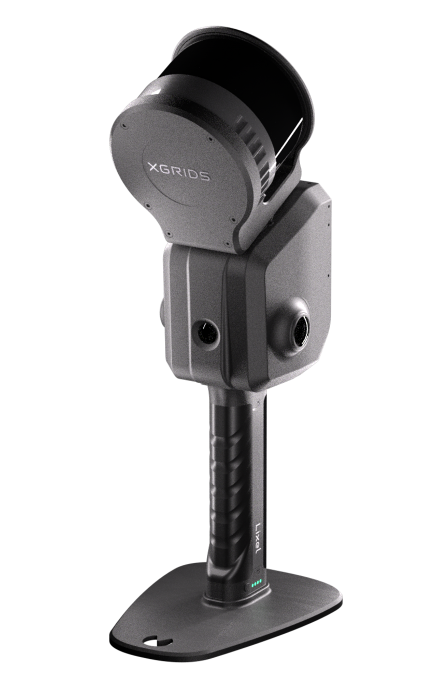
For large and complex environments
Post-processed quality data generated in real-time
1 mm precision point clouds
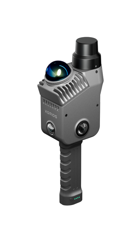
Consistent, engineering-grade data output
Multi-scenario versatility
End-to-end ecosystem integration
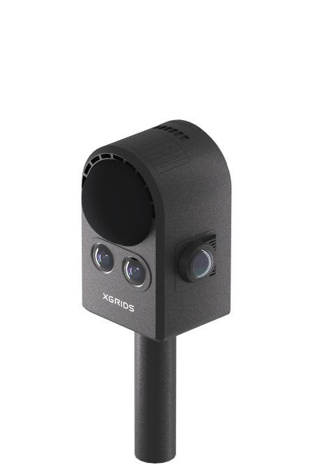
Powered by 3DGS, ideal for visually and interactively driven spatial modeling
Photorealistic models
Smartphone-simple operation
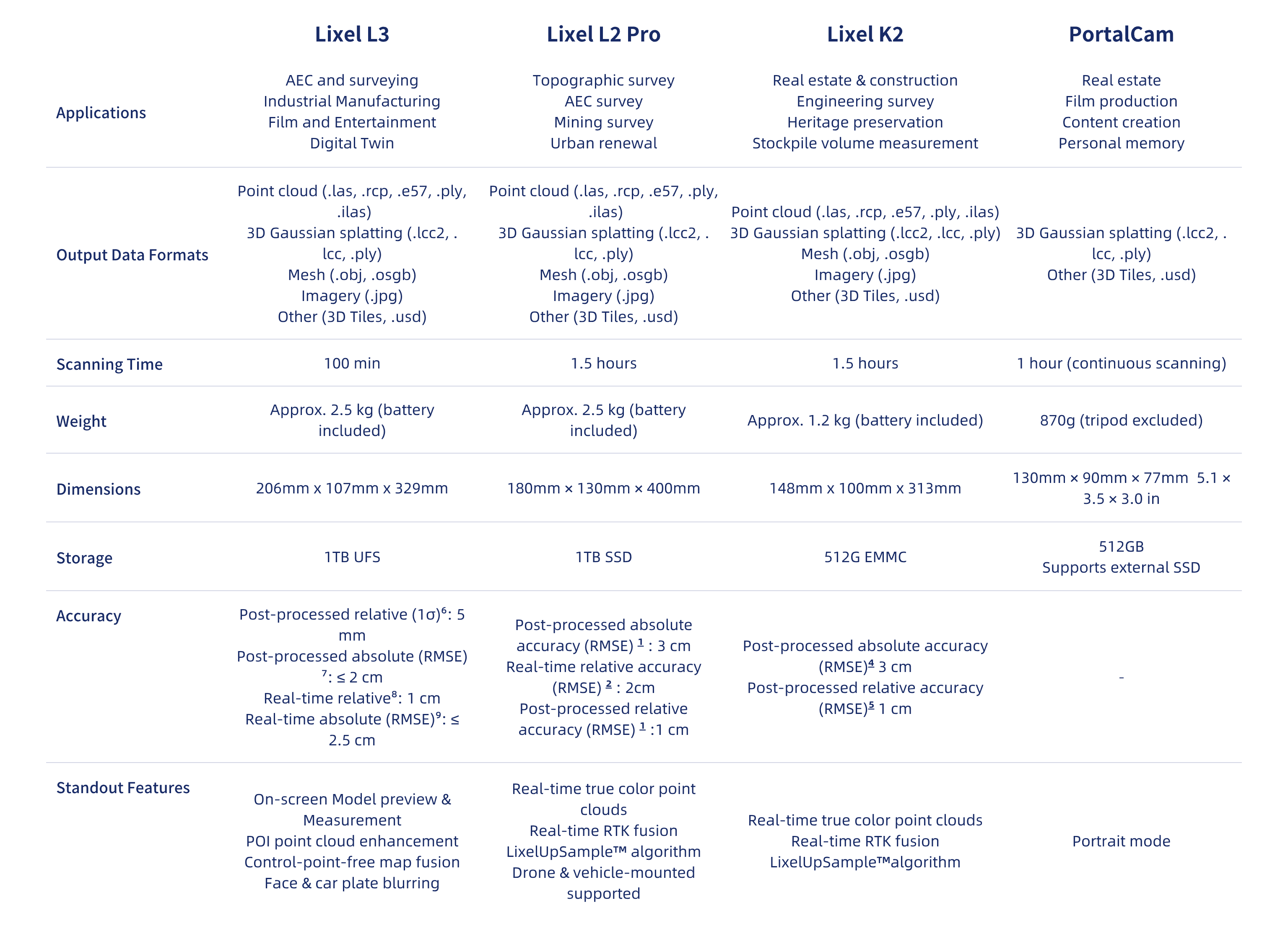
[1] RTK distance <100m or control point distance <100m;
[2] Distance between two points <100m;
[3] RTK distance <50m or control point distance <50m;
[4] Measured under open sky, no multipath interference, optimal GNSS geometry, and favorable atmospheric conditions.
[5] Point-to-point distance within 10 m; measured under laboratory conditions. Actual performance may vary.
[6] Tested in a dedicated 500 m² test environment; accuracy reported at 1σ. For full details on the test environment and accuracy metrics, see our accuracy validation white paper.
[7] Measured under open sky, free of multipath effects, with optimal GNSS geometry and favorable atmospheric conditions.
[8] Measured under laboratory conditions; actual performance may vary.
[9] Measured under open sky, free of multipath effects, with optimal GNSS geometry and favorable atmospheric conditions. WGS 84 and CGCS2000 only.


